


 |
 |
 |
 |
 |
 |
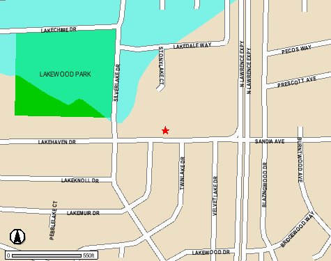
This map shows the flood hazard in part of Lakewood Village. Note that
|
Follow this link to access the Santa Clara County flood database and mapping program.. |
By following the link to the countys flood database, you can look up your own street address and find out whether or not you are in a FEMA flood area (in which case you should consider purchasing flood insurance). Enter zip code 94089 and then on the next screen select your street address.


[Lakewood Village] [The LVNA Villager] [Events and Activities] [The LVNA] [Resources]
|
Copyright ©2002-2008 Brian Smithson |